Hot Zone
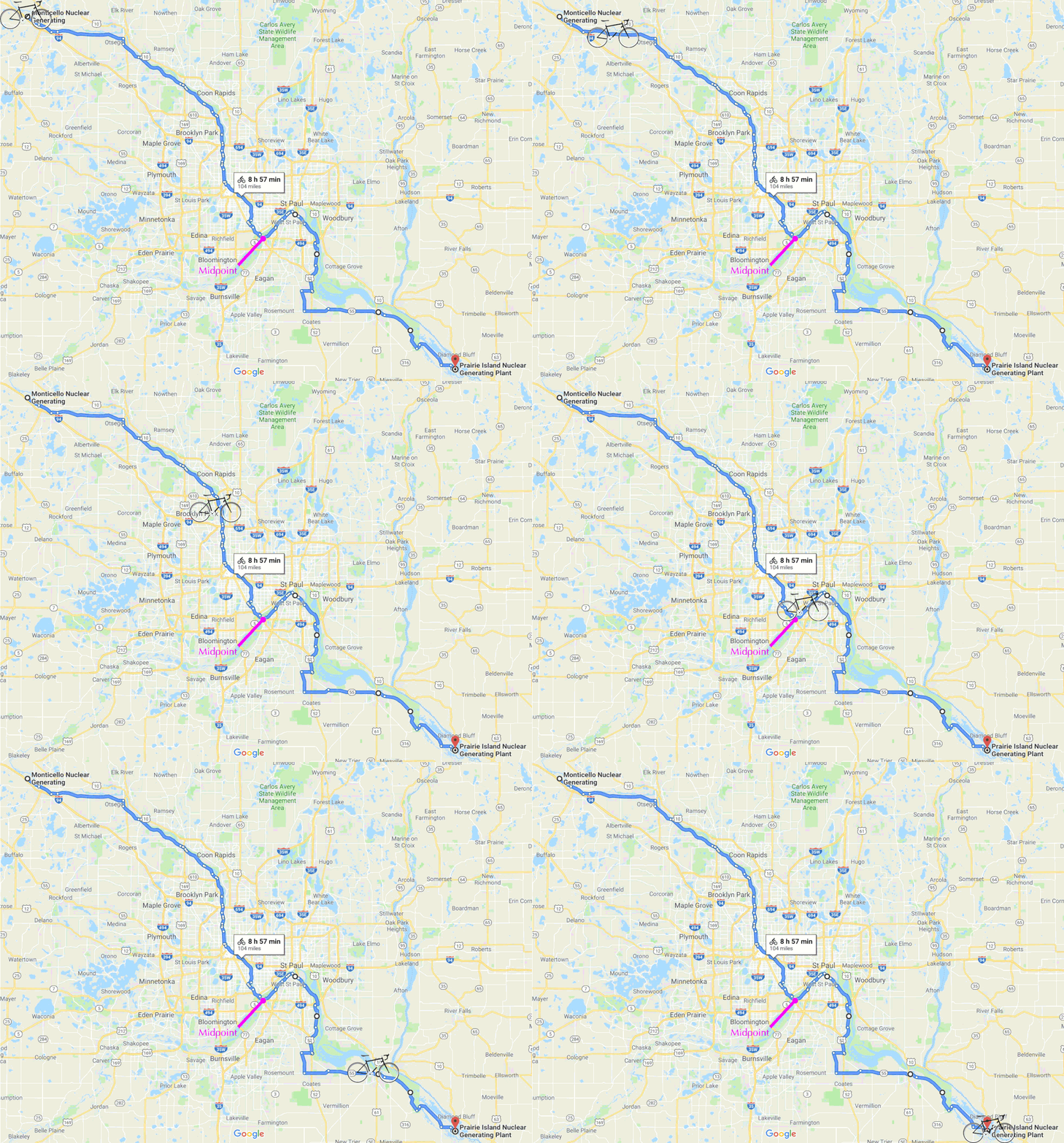
Hot Zone is an ongoing exploration of the 100-mile area between the two nuclear power plants in Mni Sota Makoce, so-called Minnesota. They are located along the Hahawakpa / Gitchi Ziibi / Mississippi River in Monticello and on the Prairie Island Indian Community's land. The Twin Cities lies equidistant between them, and they provide about 30% of all power in the state. These sites store all of their nuclear waste on-site in cooling pools and temporary steel/concrete "dry cask storage." There are currently no available locations or plans in the US for long-term radioactive waste disposal.
According to research, including artistic and scientific research such as this, evidence of radiation pollution can be found in the environments nearby nuclear power plants that have had/will have releases of radioactive material into the air and water. While I certainly hope to not find evidence of radioactive contamination here, Hot Zone calls attention to the minutiae of the landscape, the fragility of the ecosystem, and our dependence on the river for our survival. This work is created in solidarity with the water protectors working tirelessly to stop the Line 3 tar sands oil pipeline from crossing the waterways just north of this project area.
Both nuclear power plants have had minor dispersals of radioactive materials into the surrounding environments during their 50 years of operation, and the possibility for future contamination and potential for devastation remains and will persist, even decades after this closures, currently slated for 2040.
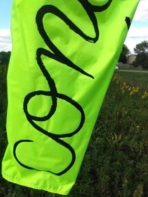
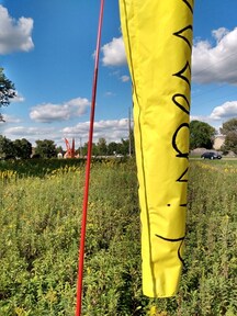
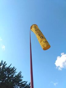
Surrounding each nuclear plant are 2 zones that detail how to respond in the event of a radiation release: the 10 mile radius "Emergency Planning Zone" and the 50 mile "Ingestion Pathway Zone." If you look at the Chernobyl and Fukushima-Daiichi exclusion zones, the elements have transported the radiation far beyond the intitial 10 and 20 km exclusion zones, respectively. To explore this further, I began creating windsocks as a visual reminder of the power of the wind. Over the past few summers, as wind has brought in heavy smoke from wildfires north and west of us, I have been reminded of how powerful the wind can be at both dispersal and concentration. You can find out more about this work here.
Currently, I am creating a website database with the help of Jaffa Aharonov to collect our visual observations of this stretch of land. I encourage you to take time to observe this landscape carefully, thoughtfully, and thoroughly through walking, biking, water craft, drawing, and photography. Submit your drawings and photographs to the database by sending them to hotzone [at] kelleymeister [dot] com - don't forget to include the date and location. You can also post them to social media and use the tag #MNHotzone. We will be checking the tag frequently.
Along with this website launch, I am hosting a series of in person Draw + Observe Together events. The first one will be September 25 (rain date 9/26) at the oak savanna at E 36th St and West River Parkway in Minneapolis from 2-4pm. Come anytime, bring a friend and some drawing supplies (small sketchbooks and pencils will be provided), and something to sit on if you so desire.
Another way we can observe our environment involves using tools to measure the radiation levels along this pathway. In the fall of 2019, I assembled a BGeigie Geiger Counter, a device that measures environmental radiation. This data is uploaded to the Safecast worldwide database, a public project where you can find and report environmental radiation readings anywhere in the world. If you want to borrow one and take your own readings, please get in touch. I also am looking to donate them to libraries in local communities near the power plants - get in touch if you have ideas or connections to these library systems!
Originally, this project began as an idea for a group bicycle ride along that 100-mile path. Due to the ongoing pandemic, that aspect of the project is put on hold, but I hope with the right resources and support, I can return to it and make it a reality. I envision possibilities that are magnificent in scope, that include the waterways and the landways, that are accessible to all who want to join. The pace of a bicycle ride or canoe/kayak trip enables us to move through the landscape at a digestible speed – allowing for deeper observation and contemplation. While I do not expect (and certainly hope not) to find much evidence of radioactive contamination on the trip, the ride will call attention to the minutiae of the landscape, the fragility of the ecosystem, and our dependence on the river for our survival. During their 50 years of operation, both power plants have had minor dispersals of radioactive materials into the surrounding environments, but the possibility for future contamination and potential for devastation remains and will persist, even decades after their closures.
